Oceanography Laboratory
Destination
The laboratory ensures the conduct of oceanographic research and practical activities in the disciplines: Meteorology and oceanography, Marine hydrography and hydrographic insurance, Prevention of marine environment pollution, Safety of life at sea, and protection of the marine environment.General objectives
The formation of the necessary skills in obtaining and using oceanographic information in order to adapt the ship's voyage/march to the existing conditions in the navigation areas and the development of skills in the execution of reference hydrographic works and the use of oceanographic parameters in estimating the effects of marine pollution on coastal ecosystems.Specific objectives
- exploitation and use of nautical documents and hydrometeorological information obtained on board the ship;
- correctly performing tide calculations to determine the elements necessary for the safe entry of ships into ports and navigation in tidal areas;
- determining the physical and chemical properties of seawater;
- modeling of ocean current systems that have a particular impact on ship voyages;
- identification of potential species from the qualitative structure of marine ecosystems potentially affected by pollution from ships;
- learning the methods and procedures of bathymetric surveys;
- identification of the component parts and the operating principles of the equipment intended for hydrographic and topogeodetic surveys, as well as the determination of the nature of the seabed;
- exploitation and correct use of the equipment intended for hydrographic surveying and determining the nature of the seabed.
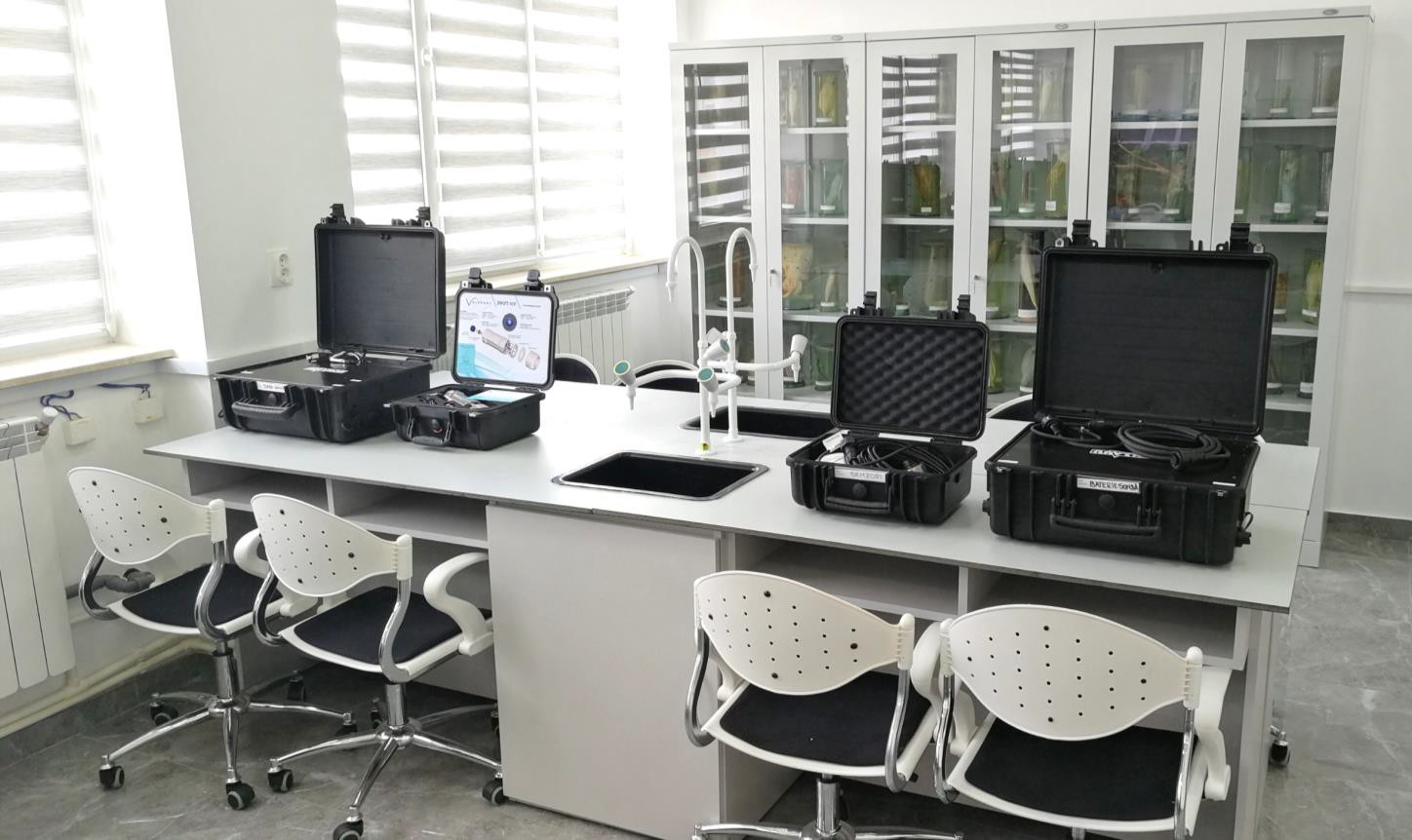
Facilities
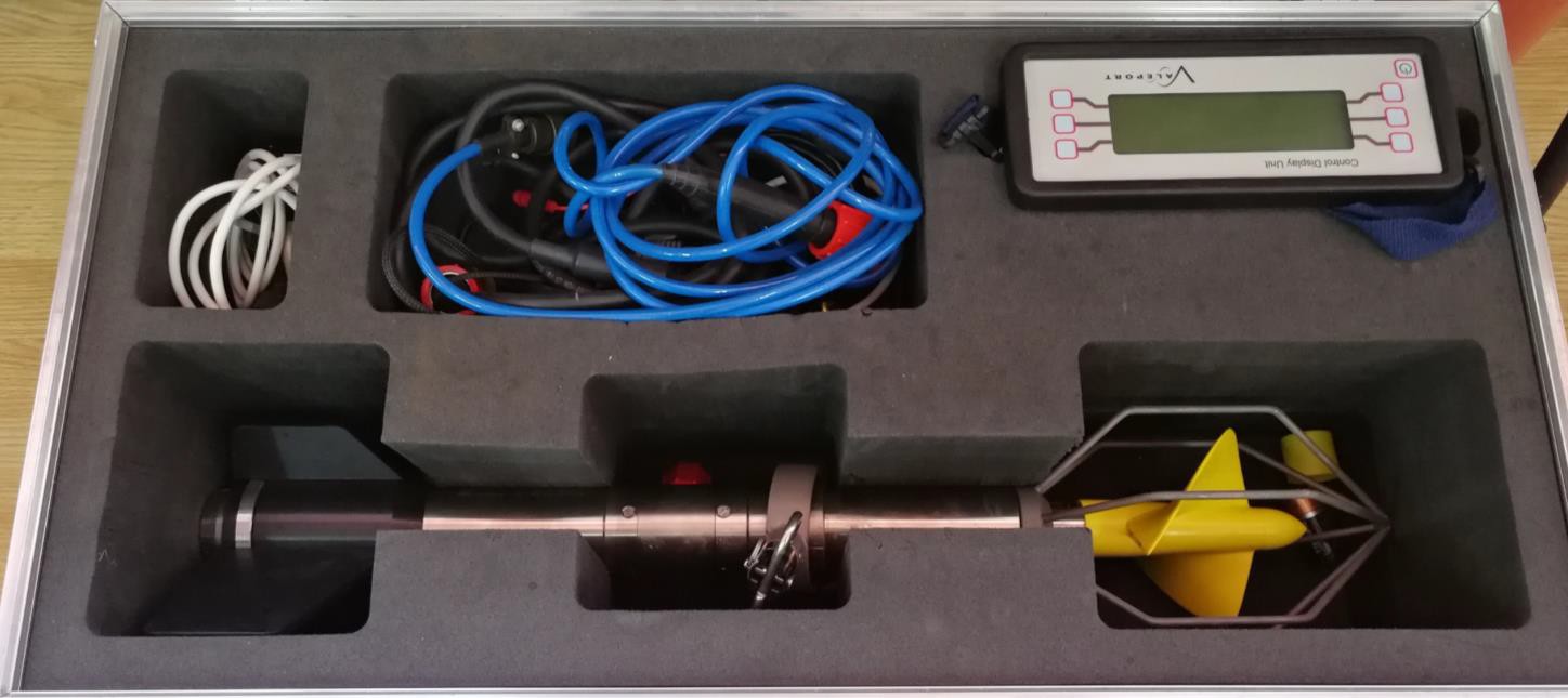
- current meters with integrated sensors intended to measure: flow speed, direction, depth and temperature of currents in the coastal marine environment; global positioning system GPS;
- the data system related to the hydrometric stations within the DHM network at the Black Sea;
- radar data system, satellite data, data from sea state forecast models through the VAGROM module, national weather data and GTS data through the National Integrated Meteorological System (SIMIN);
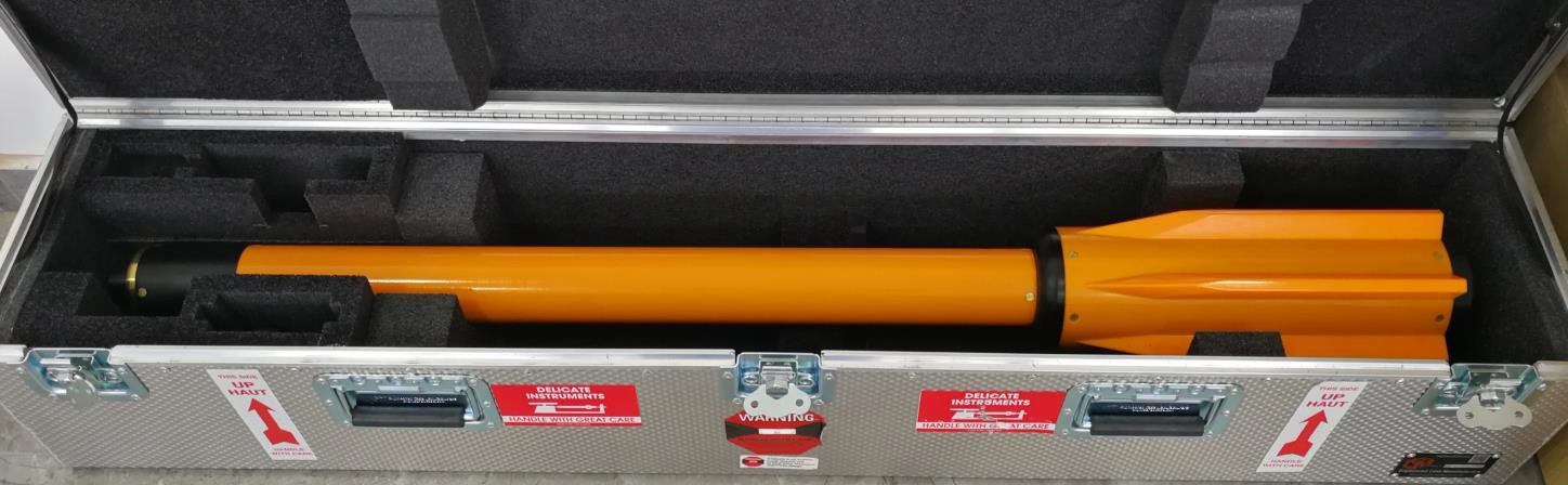
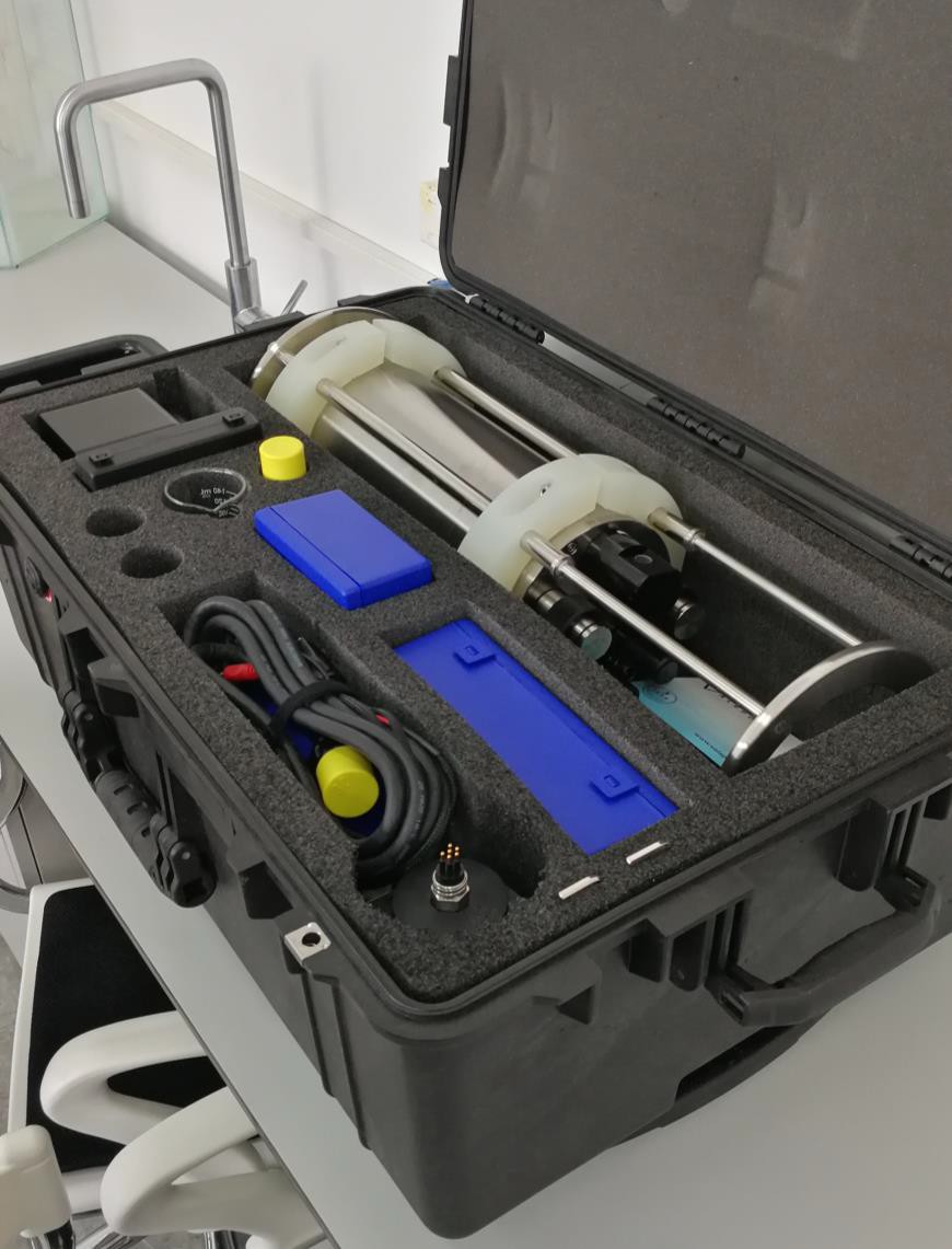
- instruments and equipment intended for measuring and recording the main oceanographic parameters: salinometers, Sechi disc, tide gauge, hydrographic miter, Forel colorimetric kit, etc.;
- specialized software products used for correlation of tide calculations, real-time oceanographic forecasting, and navigation route optimization;
- pilot books, current atlas, ATTs, documentation on the types of information received on board ships in real time (advises, warnings, synoptic maps with wave modeling and storm surge systems, etc.);
- collections of formalized species specific to marine ecosystems for the study of the effects of marine pollution;
- specialized software products for processing information obtained from hydrographic surveys.
Activities
- Measuring, recording, and determining oceanographic parameters on board ships with the help of devices.
- Identification and interpretation of wave elements, currents, and tides transmitted with the help of synoptic maps and modeling their parameters with the help of specialized software.
- Analysis of the influence of oceanographic factors on navigation (current drift, tidal currents, waves) through navigation and stability calculations on board ships. Use of tide calculation programs for standard ports and for secondary ports.
- Use of equipment from hydrometric stations. Reference calculations for determining sea level and depths.
- Real-time modeling of hydrocarbon dispersions from ship pollution under the influence of oceanographic factors. Use of GOODS, GNOME and ADIOS programs.
- Identification of species in ballast water management operations on board ships. Estimation of the effects on the qualitative structure of marine ecosystems in the case of pollution from ships.
Last modified: Friday, 9 September 2022, 10:03 AM