MARINE METEOROLOGY LABORATORY
Destination
The laboratory ensures the implementation of practical activities in the discipline of Meteorology and Oceanography.General objective
The study of phenomena and processes in the terrestrial atmosphere, of their dynamics at the ocean-atmosphere interface for forecasting in time and space the aspect of the weather on board ships using measuring instruments, reception equipment, and specialized software programs for data processing.Specific objectives
- the use and interpretation of the information obtained from the meteorological instruments on board the ship to determine the meteorological elements necessary to know the hydrometeorological situation during navigation;
- the identification of meteorological elements and phenomena represented on meteorological synoptic maps and the prediction of trends over time, to ensure knowledge of the characteristics of various weather systems, reporting procedures, and recording systems;
- deciphering and correctly interpreting meteorological messages, synoptic
- codes, and other hydrometeorological situations received on board the ship to ensure knowledge of the characteristics of various weather systems, reporting procedures, and recording systems;
- forecasting the evolution of hydrometeorological phenomena based on the meteorological observations carried out on board the ship and the elements contained in the meteorological messages;
- identifying and forecasting the evolution of dangerous hydrometeorological phenomena for the ship, cargo, and crew to ensure the ability to apply the available meteorological information;
- identifying and knowing the areas where dangerous hydrometeorological phenomena occur: strong winds, storms, tropical cyclones, baric disturbances, sea ice, etc.
- ensuring the ability to apply the available meteorological information.
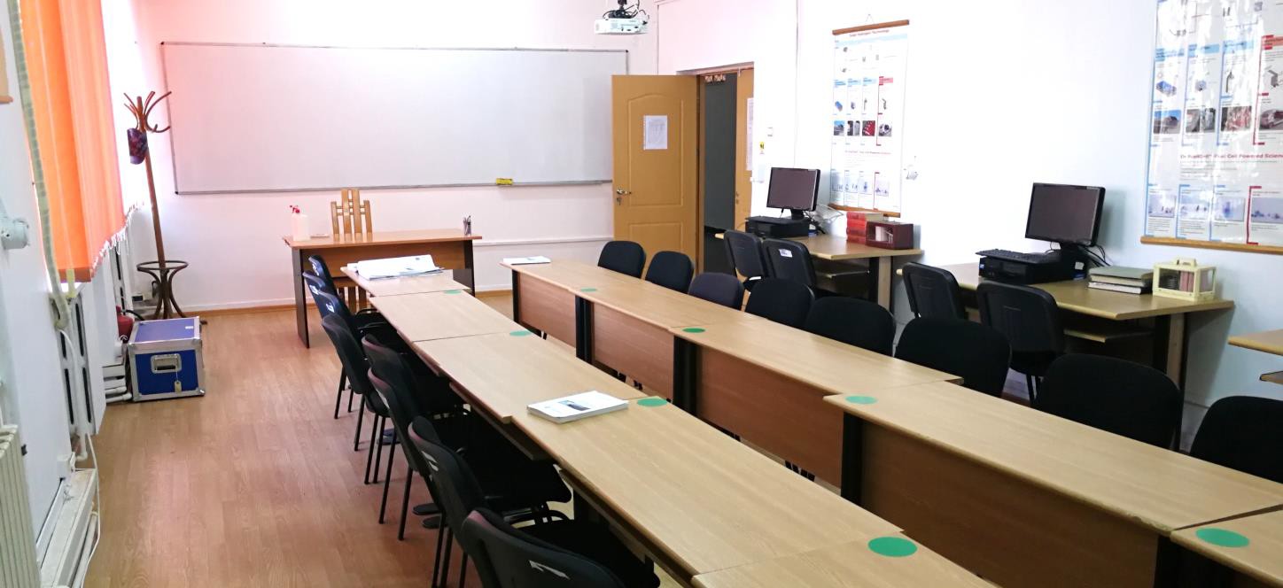
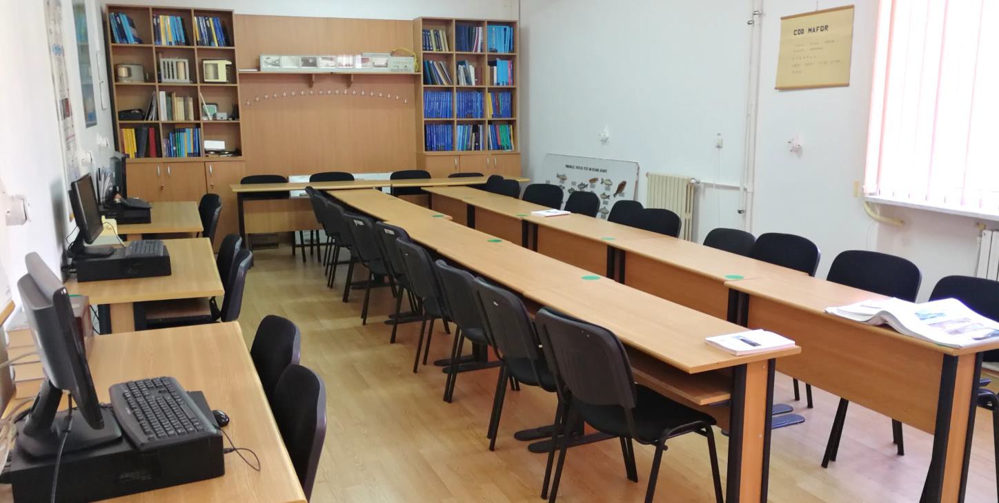
Facilities
- automatic weather station type "Vantaje VUE" intended for measuring meteorological parameters, storing and processing them to prepare Meteograms and short-term forecasts on board the ship;
- the radar data system, satellite data, data from forecast models as well as all national and GTS weather data through the National Integrated Meteorological System (SIMIN), and the data of meteorological stations within the DHM through the hourly transmission of SYNOP bulletins;
- instruments and equipment intended for measuring and recording the main meteorological parameters with a role in forecasting and monitoring the conditions of keeping goods: barometers, barographs, hygrometers, hygrographs, thermohygrographs, anemometers, thermometers, thermographs;
- equipment for receiving meteorological information on board the ship through the NAVTEX system (receiver, antenna), respectively through the Internet in real-time through specialized websites (http://weather.gmdss.org);
- specialized software products used on board ships by shipping companies for real-time weather forecast correlation and navigation route optimization (MetManager application as part of the Passage Plan) and for sea calculations (Total Tide);
- pilot books, cloud atlas, ATTs, documentation on the types of information received on board ships in real time (notices, warnings, Navtex messages, combined weather messages, synoptic maps, etc.).
Activities
- Meteorological instruments on board ships. Measuring, recording, and determining meteorological elements on board with the help of meteorological devices and automatic weather stations.
- Identification and interpretation of isobars, main and secondary forms of baric relief on synoptic maps with the help of the SIMIN integrated system software.
- Measuring, recording, and determining wind elements on board the ship with the help of the anemometer, anemograph, vane, and automatic weather stations. Application of the Buys-Balot Law. Determination of wind elements using synoptic maps. Analysis of wind influence on navigation (wind drift).
- Identification and interpretation of the main characteristics related to air masses, air fronts, and atmospheric depressions (extratropical and tropical
- depressions - tropical cyclones) with the help of synoptic maps and specialized software: formation conditions, evolution, trajectories, regions where they manifest, baric representation, the weather associated with them, measures taken on board the ships.
- The use of the NAVTEX-type receiver and specialized websites in receiving meteorological messages. Making the meteorological forecast on board the ship through the successive analysis of the synoptic maps transmitted through the SIMIN integrated system and comparing it with the existing one on the specialized websites.
- Determining the main parameters related to ocean currents (speed, direction, depth, temperature) with the help of current meters and using the determining values in estimating the conductivity and speed of sound in water.
- Determination of the main parameters used in the estimation of the sea level (H, L, T of the wave, D and V of the wind) with the help of the integrated ship driving simulator and the modeling of the wave and current systems transmitted through the SIMIN system, and specialized websites.
Last modified: Friday, 9 September 2022, 10:04 AM